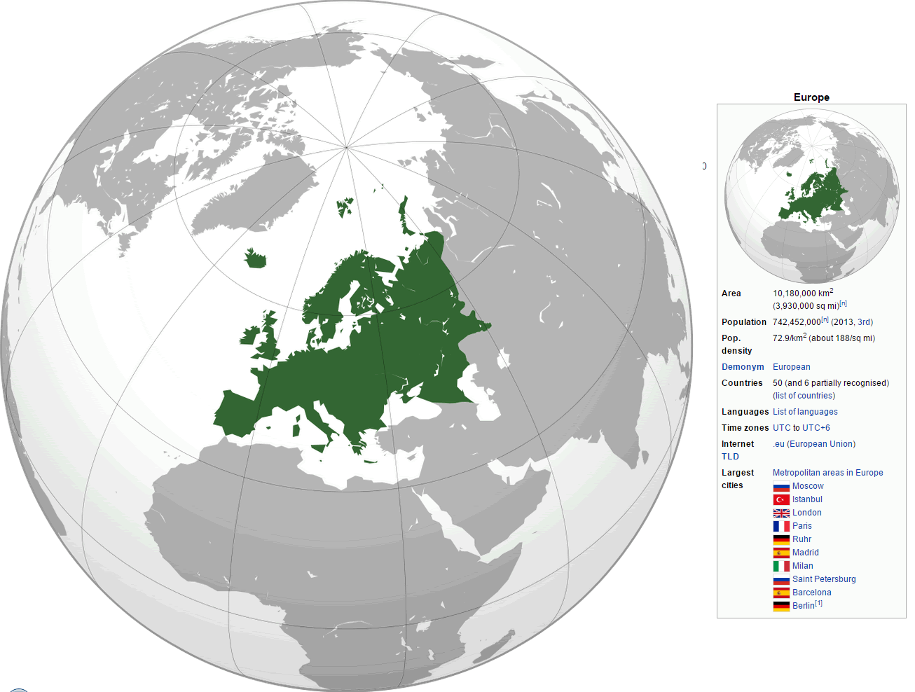
Europe is located in the Northern Hemisphere and the Eastern Hemisphere. Europe is bordered by the Arctic Ocean to the north, the Atlantic Ocean to the west, and the Mediterranean Sea to the south. To the east, Europe is connected to Asia by the Ural Mountains and the Caucasus Mountains. It is the second smallest continent by surface area and is located mostly in the Western Hemisphere and mostly in the Northern Hemisphere.
Demographically, Europe has a population of over 740 million people, making it the third most populous continent after Asia and Africa. The population is concentrated in the urban areas of Western and Northern Europe, but there are also rural and sparsely populated areas in the Eastern and Southern parts of the continent.
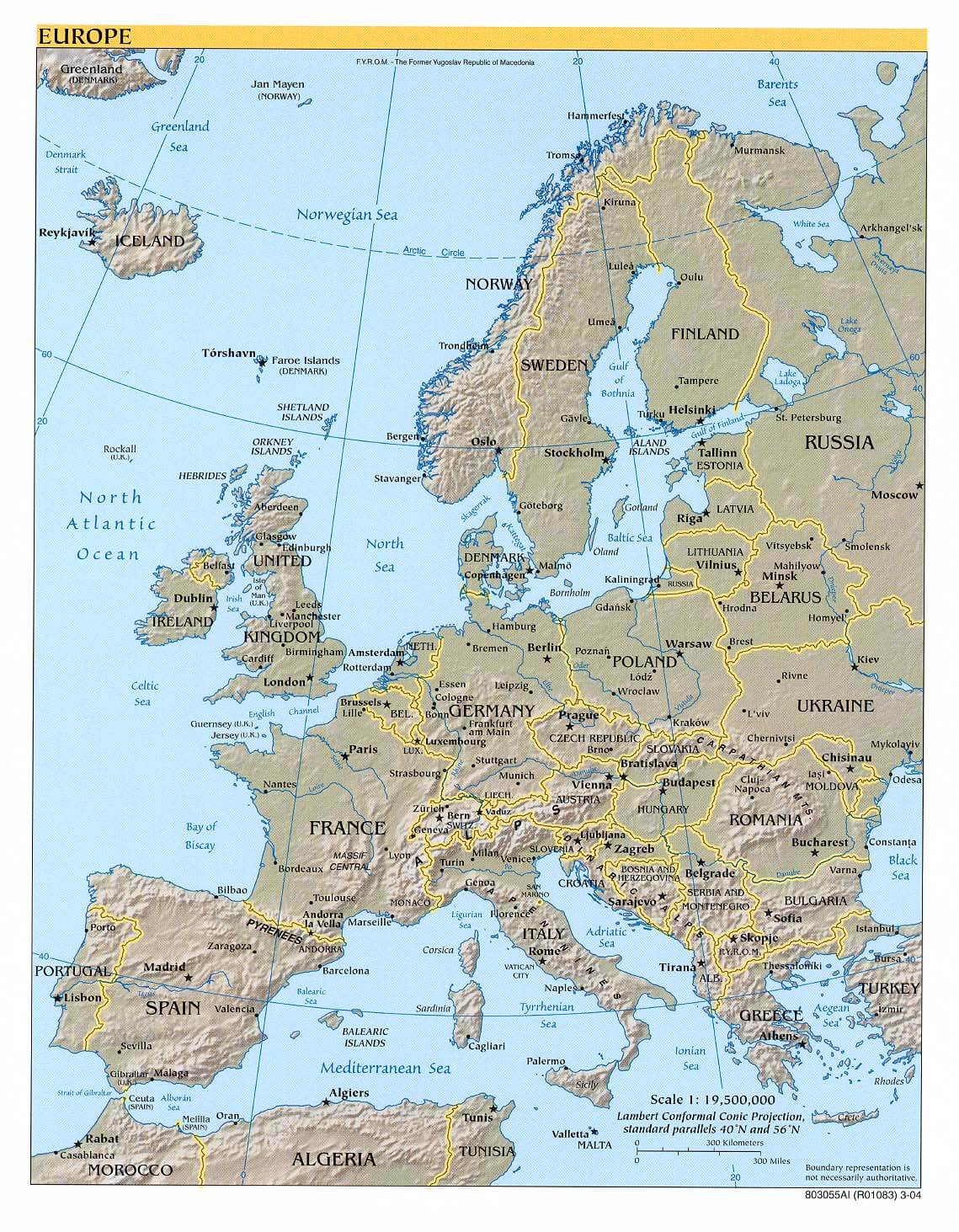
Where is Europe in the World Map
Europe Maps, Countries Map and Earth Views from Space
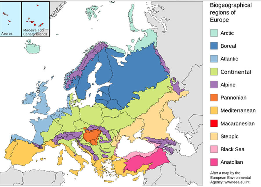
Geographically, Europe is a diverse continent with a wide range of landscapes, including mountainous regions, vast plains, and coastlines. The highest mountain in Europe, Mount Elbrus, is located in the Caucasus Mountains between Russia and Georgia. Europe also has several major rivers, including the Volga, the Danube, and the Rhine.
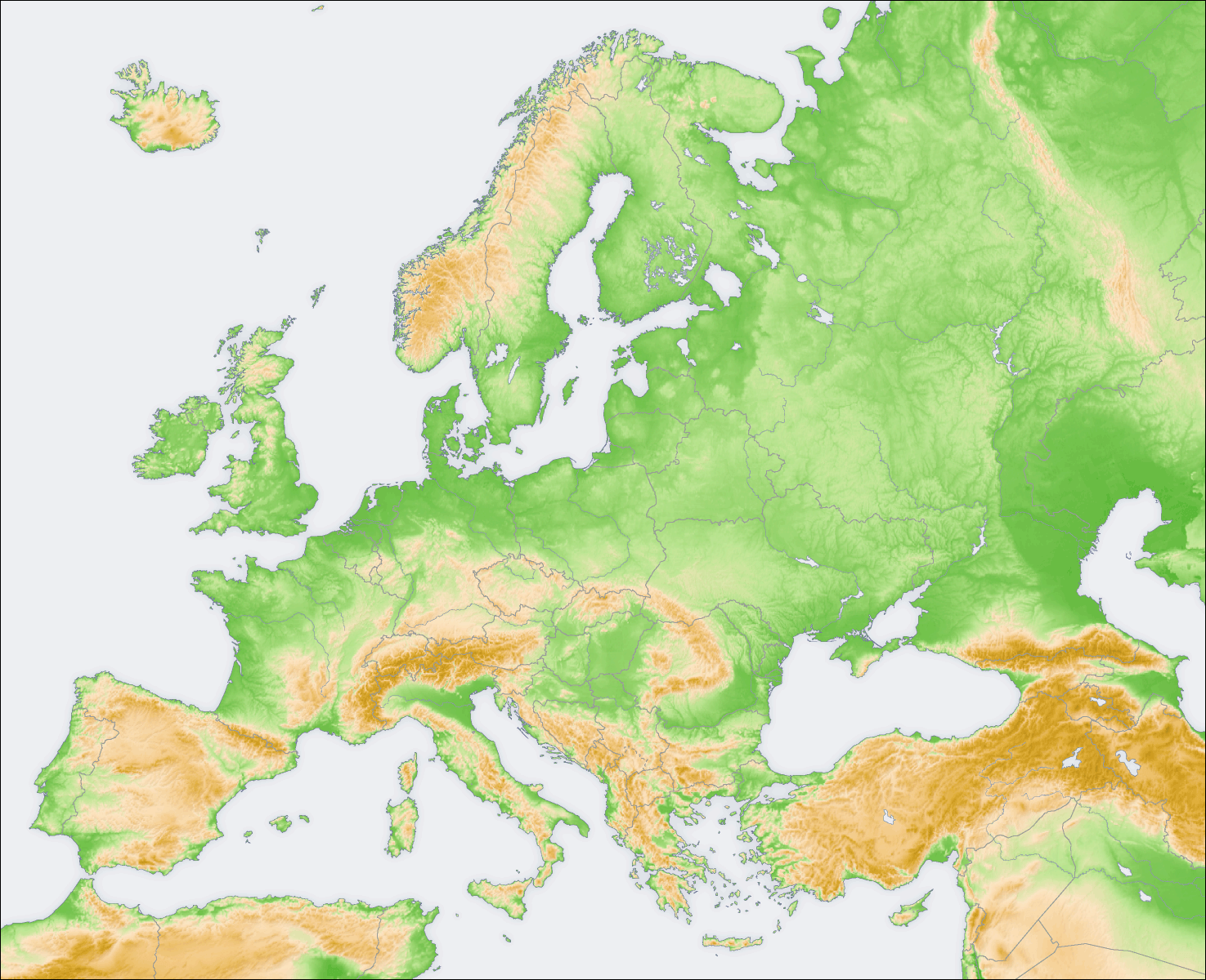
Europe Satellite Map
Economically, Europe is one of the wealthiest and most developed regions in the world. The European Union, which is a political and economic union of 27 member states, has the largest economy in the world. Many of the member countries of the EU have strong economies, low unemployment rates, and high standards of living. However, there are also countries in Europe with economies that are less developed and higher rates of poverty.
Europe Satellite Map
How many countries there are in Europe?
There are currently 44 countries in Europe that are members of the European Union, and 3 European microstates that are not members of the EU. Additionally, there are several other countries in Europe that are not members of the EU, bringing the total number of countries in Europe to around 50.
- France Map
- Germany Map
- Spain Map
- Italy Map
- Netherlands Map
- Turkey Map
- Ukraine Map
- United Kingdom Map
- Austria Map
- Belgium Map
- Switzerland Map
- Greece Map
- Hungary Map
- Sweden Map
- Iceland Map
- Ireland Map
- Norway Map
- Portugal Map
- Romania Map
- Wales Map
- Scotland Map
- Croatia Map
- England Map
- Poland Map
- San Marino Map
- Serbia Map
- Slovakia Map
- Slovenia Map
- South Ossetia Map
- Transnistria Map
- Belarus Map
- Bosnia and Herzegovina Map
- Bulgaria Map
- Czech Republic Map
- Denmark Map
- Finland Map
- Isle of Man Map
- Northern Cyprus Map
- Cyprus Map
- Jersey Map
- Kosovo Map
- Latvia Map
- Liechtenstein Map
- Lithuania Map
- Luxembourg Map
- Macedonia Map
- Malta Map
- Moldova Map
- Monaco Map
- Montenegro Map
- Nagorno Karabakh Map
- Georgia Map
- Guernsey Map
- Gibraltar Map
- Estonia Map
- Faroe Islands Map
- Vatican Map
- Abkhazia Map
- Akrotiri and Dhekelia Map
- Aland Islands Map
- Albania Map
- Andorra Map
- Azerbaijan Map
- Armenia Map
Europe maps and countries map
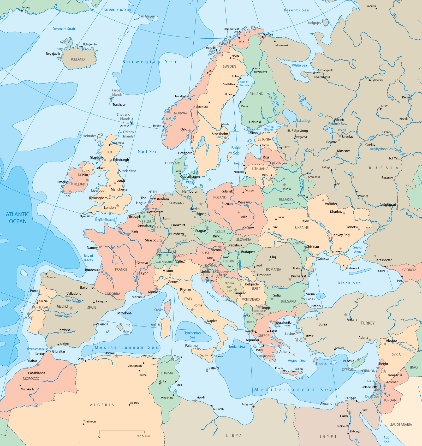
World Map and Europe
Author: Arif Cagrici – Head of Digital