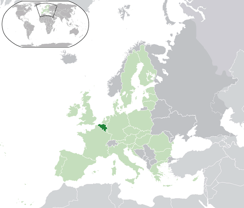
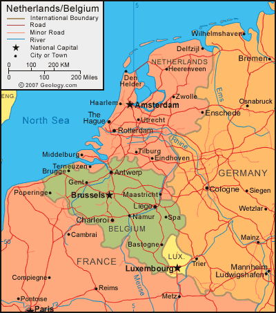
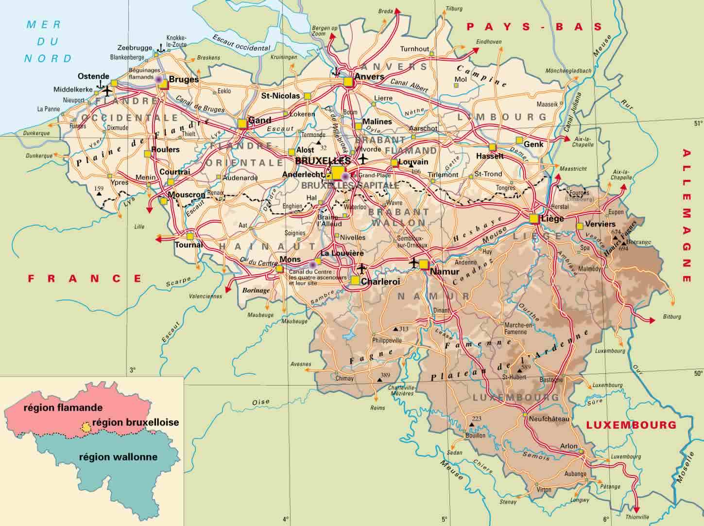
Belgium is located in Western Europe. It is bordered by the Netherlands to the north, Germany to the east, Luxembourg to the southeast, France to the southwest, and the North Sea to the northwest. Belgium is situated between latitudes 49°30′ N and 51°30′ N and longitudes 2°30′ E and 6°15′ E.
The population of Belgium is around 11.5 million people, with the majority of the population concentrated in the urban areas, particularly in the cities of Brussels, Antwerp, Ghent, and Charleroi. The official languages of Belgium are Dutch, French, and German.
Where is Belgium?
Belgium has a developed economy with a strong focus on services, particularly transportation and logistics. The country is also known for its high-quality chocolate, beer, and diamonds. The steel and automotive industries are also important to the economy. Agriculture, while not as significant, still plays a role in the economy, particularly in the production of sugar beets, fruits, and vegetables.
Map of Belgium
In terms of demographics, Belgium is a diverse country with large communities of immigrants, particularly from Morocco and Turkey. The country also has a significant number of EU citizens, particularly from other nearby countries such as France and the Netherlands.
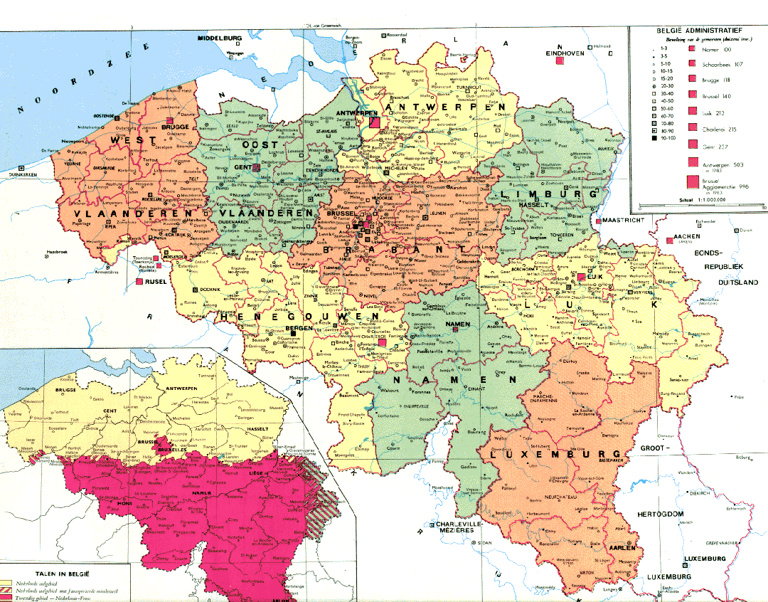
Belgium Political System
The political system of Belgium is a federal parliamentary constitutional monarchy. Belgium is also a founding member of the European Union and hosts the headquarters of several international organizations, including NATO and the EU.
The largest cities in Belgium are:
Here are the 10 most populous cities in Belgium with their population figures:
- Brussels – 1,200,000
- Antwerp – 510,610
- Ghent – 250,902
- Charleroi – 201,593
- Liege – 190,543
- Bruges – 117,073
- Namur – 106,284
- Leuven – 100,715
- Mons – 93,079
- Aalst – 90,506
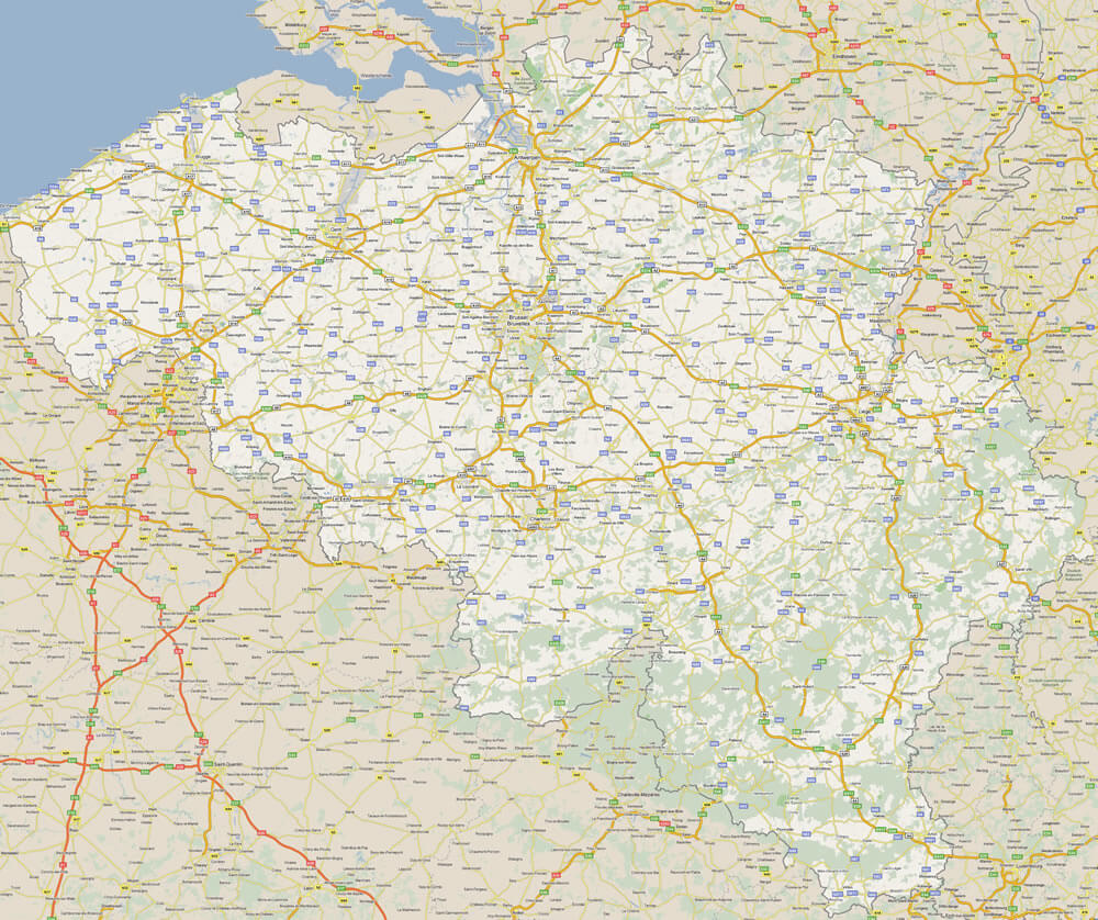
Belgium Satellite Map
Author: Arif Cagrici – Head of Digital

