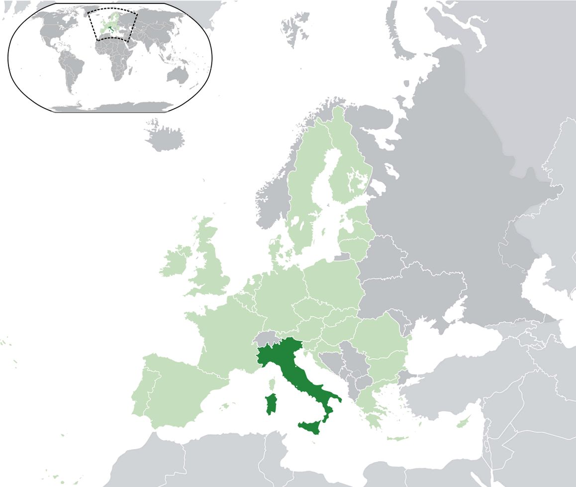
Italy is located in Southern Europe, on the Italian Peninsula and the two largest islands in the Mediterranean Sea, Sicily and Sardinia. It is bordered by France, Switzerland, Austria, and Slovenia to the north, and by the Adriatic Sea, Ionian Sea, and the Mediterranean Sea to the east, south, and west respectively. Its capital is Rome.
Italy is a country located in Southern Europe, known for its art, history, and culture. It is the fourth most populous EU member state and the twenty-third most populous country in the world. The official language is Italian and the currency is the Euro. The country has a diverse and varied geography, with the Alps in the north, rolling hills in the center, and beaches and islands in the south. The population is around 60 million and is mostly concentrated in the north and center of the country.
Italy Map
About Italy Economy
Italy has a mixed capitalist economy and is considered to be a developed country. It is the eighth largest economy in the world and the fourth largest in the EU. The country is known for its manufacturing sector, particularly in the areas of fashion, design, and luxury goods. Agriculture is also an important sector, with the country being one of the world’s largest producers of wine, fruits, and vegetables. However, the country has been facing economic challenges in recent years, with high public debt and low economic growth.
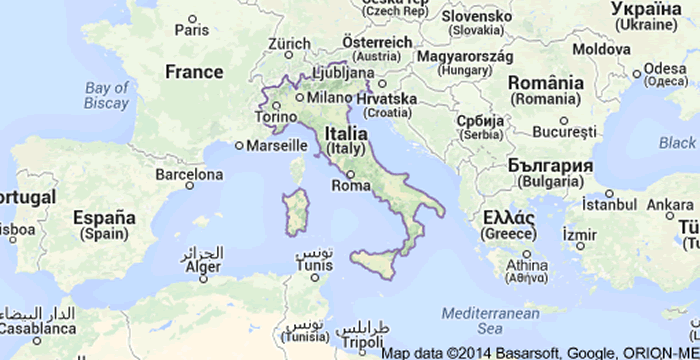
A Collection of Italy Maps HD with Calming Music
The largest cities in the Italy are:
Here are the 10 most populous cities in Italy with their population figures:- Rome Map
- Milan Map
- Naples Map
- Turin Map
- Palermo Map
- Genoa Map
- Bologna Map
- Florence Map
- Bari Map
- Catania Map
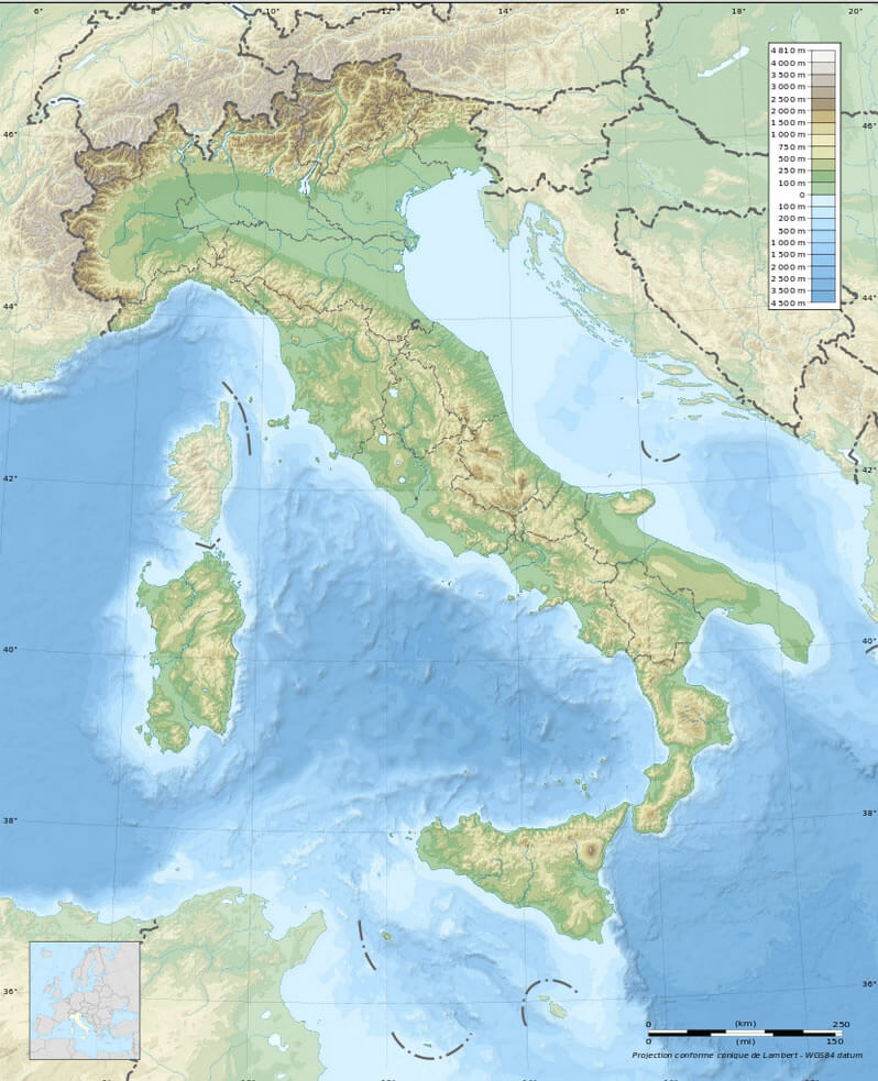
Italy Satellite Map
Author: Arif Cagrici – Head of Digital